Kalahandi district of Orissa encompasses an area 7920 Sq. Km, of which 32 % is covered by forests which is 2,538.01 Sq. Km. It is geographically located between 19° 3' North and 21° 5' North latitude and 82° 30 East and 83° 74' East longitude. Kalahandi district is divided into two Sub-Divisions, seven Tehsils, one Municipality, twelve Police Stations, two notified area councils (N.A.C.),thirteen Blocks and 273 Gram Panchayats. The total number of villages in the district are 2236.
As per 2001 Census, the total population of Kalahandi district is13,35,494 comprising of 6,67,526 males and 6,67,968 females. The density of population in the region is 169 person per sq. km. Out of the the total population, 1,23,5275 is the rural population and 1,00,219 is the urban population.
The district has a number of interesting places to visit such as Phurlijharan, Amathagud, Ampani, Gudahandi, Karlapat, Lanjigarh, Mohangiri, Rabandarh, Asurgarh, Belkhandi, Junagarh etc.
Kalahandi district is located in the South-Western part of Orissa. It is surrounded by the district of Balangir and Nawapara in the North, by the District of Rayagada on the South, by Nawarangpur District and Raipur District of Chhatisgarh on the West and by Rayagada District and Boudh on the East. Bhawanipatna town The District Headquarters is at which stands almost to the Eastern border.
During the ancient period the district of Kalahandi was a princely state of South Kosals. It was. After India gained independence, the princely state of Kalahandi was merged with the state of Orissa on 1st November, 1949.
--------------------------------------------------------------------------------------------------------------
All Rail Maps of Orissa
--------------------------------------------------------------------------------------------------------------Angul_railway_map Balangir_railway_map Bargarh_railway_map
Bhadrak_railway_map Dhenkanal_railway_map Gajapati_railway_map
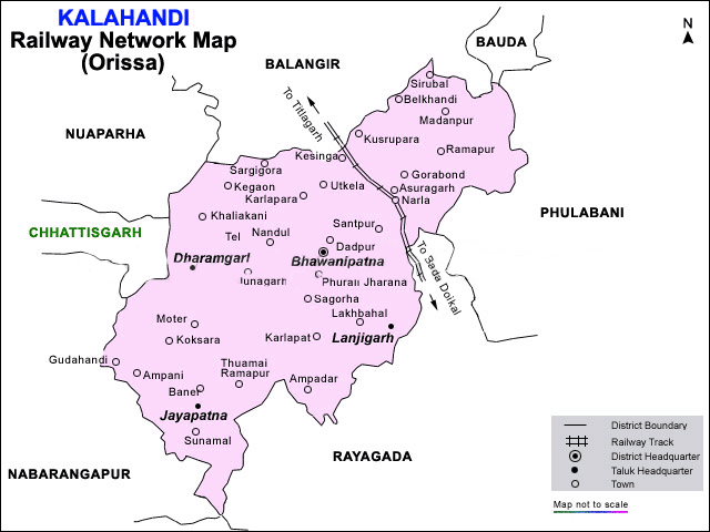
Jagatsinghpur_railway_map Jharsuguda_railway_map kalahandi_railway_map
kendujhargarh_railway_map koraput_railway_map Mayurbhanj_railway_map
Orissa-railway-map Rayagada_railway_map Sambalpur_railway_map
Sundargarh_railways_map
--------------------------------------------------------------------------------------------------------------